Celebrate National Hiking Day in Staunton, VA
(Published 11/17/2022)
Today is National Hiking Day, and it’s really worth celebrating since hiking is good for both your waistline and your mind. Here are some local hikes that will help you stretch your legs and commune with nature. Whether you’re going to hit the trails for a quick stroll after work or lace up your boots for something epic this weekend, we’ve got your hike mapped out.
Hikes for Untrained Legs
Montgomery Hall Park
At 148 acres of rolling hills and woodlands, Montgomery Hall Park is a great asset to Staunton. Once you’re on the looping miles of wooded hiking trails, you might actually forget that you’re within city limits. While there are no overlooks or water features, hikers will spot birds, squirrels, deer, and other woodland creatures. This park is hilly, but the interconnected nature of the blazed and well-maintained trail system makes it possible to design a hike that suits your needs. It’s also easy to cut your hike short if it becomes too challenging for beginner (or tiny) legs.

Sherando Lake
There are miles of hiking trails winding through Sherando Lake Recreation Area, but the best loop for beginners is the Lakeside Trail that circles the lower lake. Hike clockwise to cover the more difficult up-and-down portions of the trail with fresh legs. At the halfway point, you’ll come to the spillway of the dam, which offers some interest and views. From here, the hike follows a flat, wide trail. The trail concludes at the sandy beach by the swimming area and restrooms.
Augusta Springs Wetlands
Augusta Springs Wetlands is a super hike for kids, beginners, or people looking for an easy stroll. Educational stations along the way tell of animals you might encounter. The main loop trail is flat, mostly board-walked, and less than a mile long, but an optional blazed trail adds additional, more rugged, distance. Originally part of a turn-of-the-century resort, all that remains now are some stonework foundations and the namesake spring itself.
Popular Hikes
Blue Ridge Tunnel Trail
If you’re feeling adventurous and you have a good flashlight, take a hike on the 4.5-mile Blue Ridge Tunnel hike. The western trailhead is located just outside of Waynesboro, and the trail ventures through a historic and stabilized 1850s railroad tunnel under Afton Mountain. The tunnel was originally created using hand tools and black powder. It was the longest tunnel of its kind. The hike mostly follows the railroad bed, so it’s relatively flat. The tunnel itself stretches for nearly a mile and has no lights.
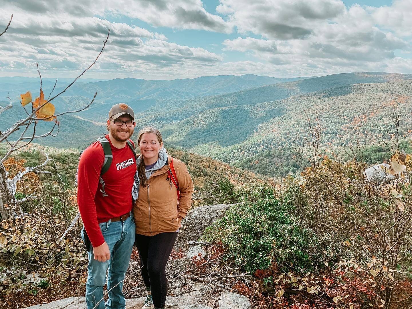
Humpback Rocks
The Humpback Rocks trailhead can be reached from the Blue Ridge Parkway. It’s a steep, hard, rocky mile to the top. The 800-foot elevation gains pay for your trouble with spectacular views of the Shenandoah Valley. This spot can score you amazing photographs, but you might have to shoot creatively around other hikers. While the short version of the hike tops out at two miles, you can come back on the Appalachian Trail to add two additional miles. The rocks once served as a landmark for wagon trains trying to cross the Blue Ridge in the 1840s. Near the trailhead, you’ll find an interpretive farm that represents the regional architecture of the late 19th century.
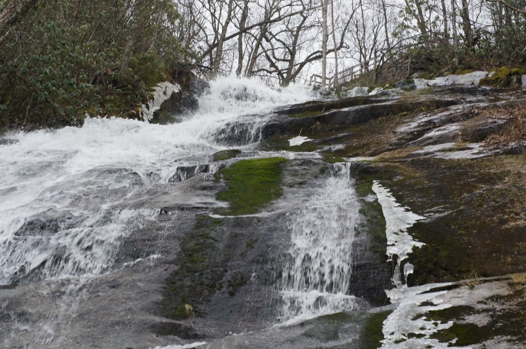
Crabtree Falls
For another of the area’s steep climbs with amazing views, try the Crabtree Falls hike. The 1,200-foot waterfall is one of the highest vertical-drop cascading waterfalls east of the Mississippi. While you can gaze at the falls from various points on the hike, you’ll want to climb the entire 1.9 miles up to the top for an incredible view of the Tye River Valley.
Hard Core Hikes
The Appalachian Trail
You can’t think about hard-core hiking without pondering whether or not you’d survive a thru-hike on the Appalachian Trail. Fortunately, you don’t need to head all the way to Maine or Georgia to tap into the beauty. Head to the top of Afton Mountain where you can hop on the trail and head as far as you want in either direction.
Elliot Knob
The strenuous 8.1-mile Elliot Knob hike leads to the highest point in Augusta County. While the trail itself follows logging and fire roads in places, the surrounding scenery makes up for the terrain. You’ll pass waterfalls and summit on an open, grassy area where the views stretch for miles. The last mile of this hike is brutal, so plan to rest at the top. Expect your quads to burn in both directions!

Reddish Knob
At 4,397 feet, Reddish Knob is the highest point in northern Virginia and delivers 330-degree views of both Virginia and West Virginia. From the top, you might see eagles, hawks, falcons, and other raptors as well as far-off U.S. Navy satellite dishes. The entire hike is a strenuous 18 miles, but if you use two cars and park one at the top, you can split the hike in half.
Newsletter Sign-up
Stay up to date on the latest and greatest happening in Staunton.